

…Super El Niño = El Niño on steroids
By A Special Correspondent
El Niño is a natural climate pattern where sea surface temperatures in the central and eastern equatorial Pacific Ocean become unusually warm.
Normally trade winds push warm water from South America to Indonesia/Australia. When winds weaken, warm water sloshes back to South America, sits there, heats atmosphere.
Why Nigeria feels it even though El Niño is in Pacific:
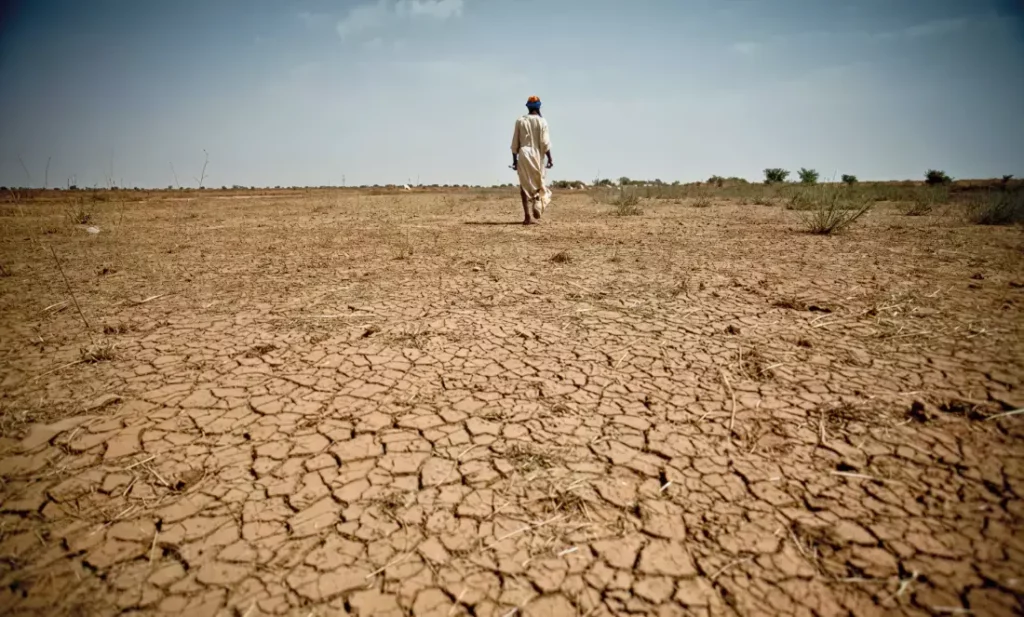
Atmosphere is connected. Hot Pacific heats whole planet. Changes West African monsoon — the wind that brings rain from Atlantic to Nigeria. When monsoon weakens – rain breaks.
What Super does vs normal:
Normal El Niño Super El Niño
Small changes in Nigeria rainfall Long dry spells in North Nigeria and sudden flash floods in South
Slightly hotter Extreme heat, UV Index 10-11, heatstroke risk
Food prices up small Major crop failure risk, rice/maize price spike
Pacific fish move small Global fish stock collapse, coral bleaching
Normal El Niño:
- Pacific Ocean near Peru/Ecuador gets a little warmer than usual — +0.5°C to +1°C above normal
- Warm water shifts rain patterns around the world — some places get more rain, some get drought
- Happens every 2-7 years, lasts 9-12 months
Super El Niño:
- Same thing, but ocean heats up a lot — +1.5°C to +3°C above normal. WMO calls it “very strong” or “super” when it crosses +2.0°C
- Current one (2026) is +2.9°C — one of strongest ever, like 2015-16 and 1997-98
- Because Pacific is SO hot, it throws global weather everywhere into confusion — much stronger than normal El Niño
This 2026-27 Super El Niño is why NiMet says:
- North: up to 21 days no rain mid rainy season
- South: less total rain but when it rains, heavy downpour
- Everywhere: hotter than normal till Feb 2027
What NiMet / FG says:
- Feb 2026 forecast predicted weak La Niña / neutral ENSO → normal rainfall. Wrong.
- August update: NiMet confirmed strong El Niño, now “Super El Niño”, 2.9°C above normal in Pacific, peaking Nov 2026 – Feb 2027. WMO says 100% chance it lasts till Feb 2027.
What Nigeria is doing:
- Warning system: NiMet + NEMA issuing heat and dry-spell alerts. Minister Keyamo said SCP is now national tool for farming, aviation, disaster.
- Agriculture shift: Ministry of Agric telling northern farmers to expect up to 21-day dry spells June-August, especially Katsina, Zamfara, Kwara, Oyo, Ogun — less rainfall than normal. Advice: use drought-resistant seeds, shift planting dates, irrigation.
- Flood control: Paradox — El Niño = dry north but heavy sudden downpours in south → Lagos, Rivers, Bayelsa flash floods. NEMA cleaning drainages, NIHSA monitoring Niger/Benue levels.
- Health alert: Climate Impact Lab projected 31,400 extra heat deaths in Nigeria Sept 2026 – Feb 2027 due to extreme heat. FG advising water intake, avoid outdoor work 12pm-4pm, UV Index now 11 extreme in places like Lokoja.
What they are NOT doing well:
The Sun, TheCable editorial say Nigeria has warning but slow action — no national El Niño emergency fund, no subsidized irrigation, deforestation still making heat worse.
For you in Abuja:
Abuja is in transition zone. Expect:
- Longer breaks without rain than usual
- Hotter days, even at night
- Sudden heavy rain that floods Lugbe, Kubwa, Airport Road
*Keep water, don’t plant just based on old calendar — follow NiMet daily forecast*
